To improve assessments of the beach erosion hazards of US coastlines, the USGS conducts coastal monitoring of these vulnerable beach landforms. This monitoring results in better understanding of the seasonal, event-based, and long-term changes to the coast and helps with planning for impacts from storms, such as those related to El Niño.
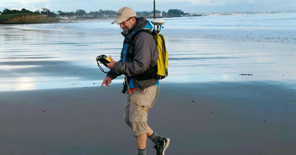
USGS oceanographer Dan Hoover uses a GPS-equipped backpack to measure sand elevations near the mouth of the San Lorenzo River in Santa Cruz, California, January 12, 2017. Surveys like this make long-term studies of coastal change possible. (Image credit: USGS)
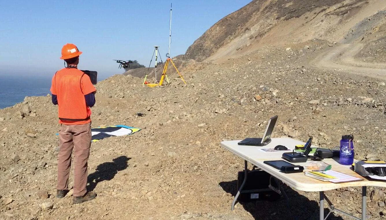
For this monitoring, a team surveys bathymetry from personal watercraft and collects beach elevation data from aerial platforms, foot surveys, and all-terrain vehicles. Combined, these data are used to create three-dimensional maps of the beach topography.…