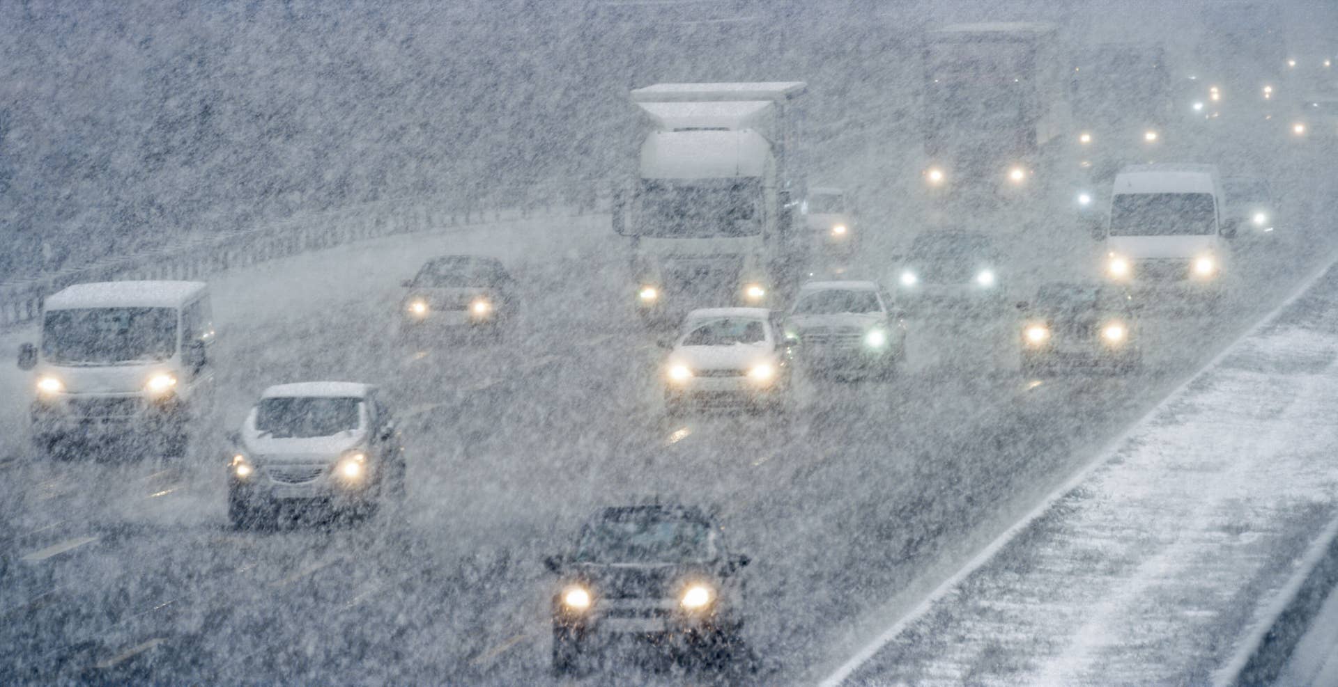
California’s weather apparently missed the memo that ski season is supposed to start gradually. Now, back-to-back storms threaten to bury parts of the Sierra Nevada under up to 3 feet of snow, with winds reaching 80 mph this week.
The National Weather Service issued the watch Sunday, November 15, for the Lake Tahoe region, warning that the stronger storm arriving late Tuesday could make mountain travel nearly impossible through Thursday night. Apparently, November has decided to skip the warm-up.
Next: Southwest Airlines Boeing 737 Made 44 Flights Before a Major Problem Was Discovered
Related: New White Christmas Forecast Shows Which US Regions Could Miss Out on Snow
Where the Heaviest Snow Could Fall
The NWS Reno forecast identifies the Sierra Nevada as the primary concern, with snow potentially reaching lower elevations in western Nevada.
Around Lake Tahoe, the winter storm watch projects 2–3 feet above 7,000 feet and 8–18 inches near lake level.
AccuWeather meteorologist Breanna Grill explained why…