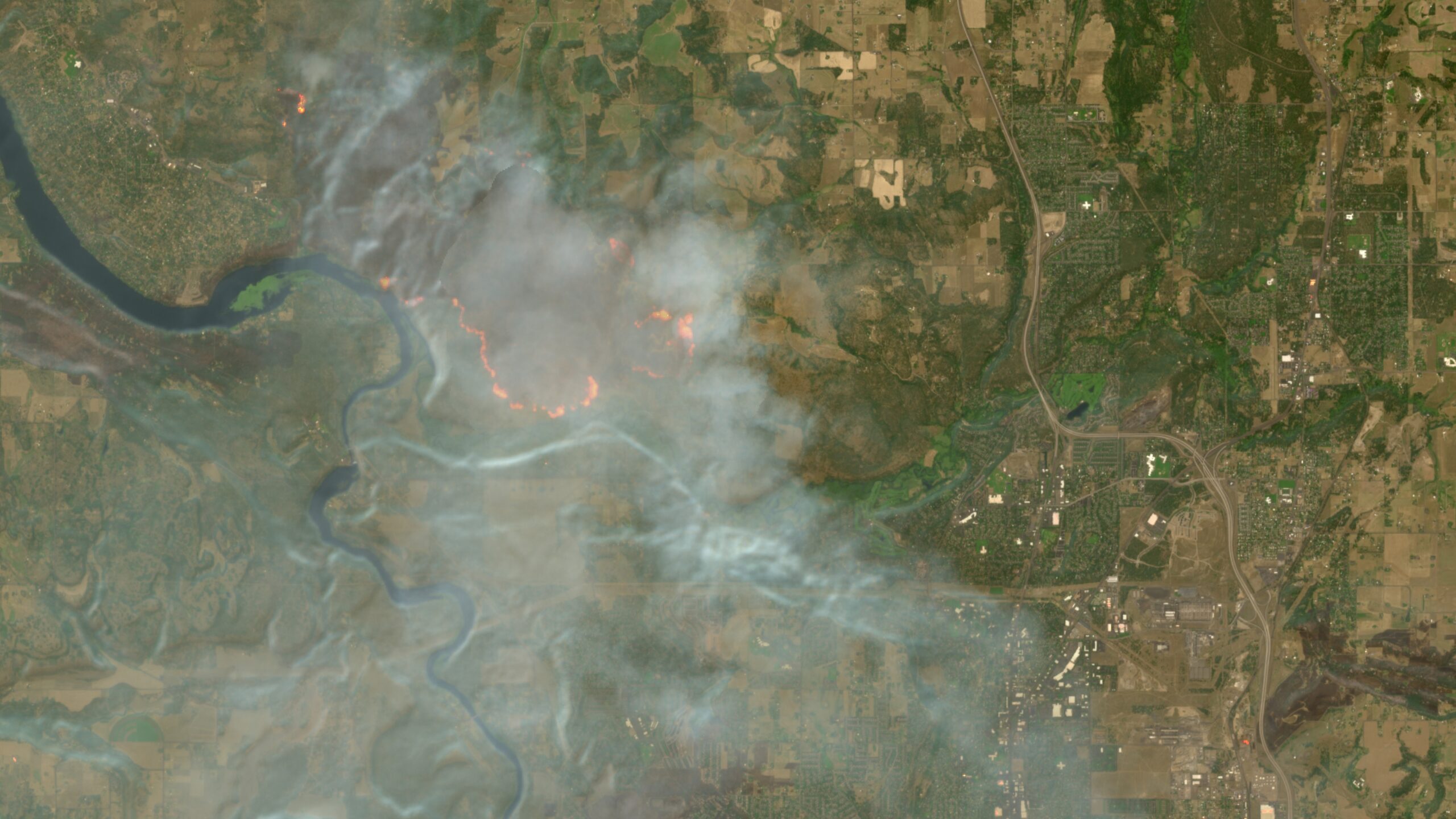
Users could previously add this script manually to Copernicus Browser sessions by copying and pasting it using the custom visualization option under the default layers. But Simon Proud , mission scientist for Sentinel-2 at the European Space Agency, pushed to get the script integrated into Copernicus Browser as a default option. He announced that the integration had finally happened in a Discord channel on a server run by the investigative journalism group Bellingcat . There are other existing and emerging satellite constellations capable of detecting and monitoring wildfires and wildfire smoke. NASA’s FIRMS tool provides free access to a global map of fires detected by NASA satellite sensors and is rapidly updated within several hours—although such NASA satellite imagery is only available in coarser resolutions down to 250 meters. By comparison, the Sentinel 2 satellite imagery is updated every few days but provides much higher resolution imagery in certain bands down to a 10-meter spatial resolution.…