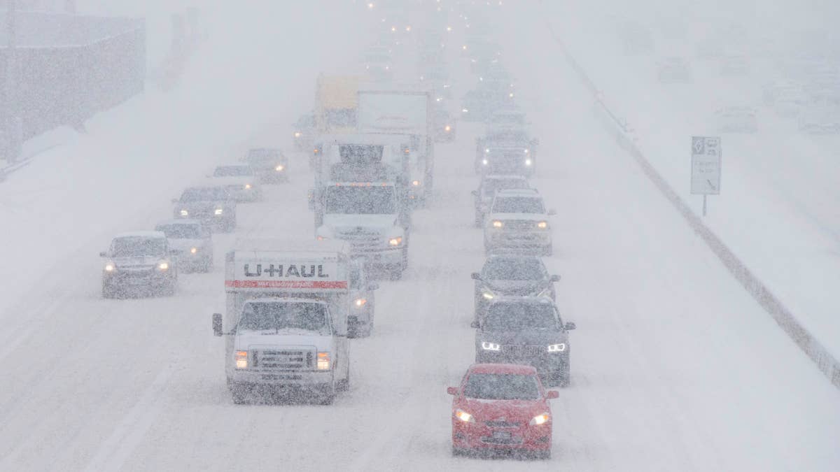
The National Weather Service has issued an official warning as a winter storm brings the threat of heavy snow and hazardous travel conditions.
The Winter Storm Warning remains in effect until 11 a.m. MST Saturday, Nov. 21. Forecasters are calling for significant snowfall, with some areas expected to see as much as 24 inches. Strong winter conditions could make travel dangerous, especially on roads, bridges and overpasses.
Up to 24 Inches of Snow Expected in Areas of the Country
The National Weather Service says total snow accumulations of 12 to 24 inches are expected, with the highest amounts forecast in the Upper Cottonwoods and near the Utah-Idaho border. The warning covers the Wasatch Mountains, including the areas around Brighton, Alta, Mantua and Logan Summit.
The heaviest snowfall is expected in the higher-elevation areas, where totals could reach two feet.…