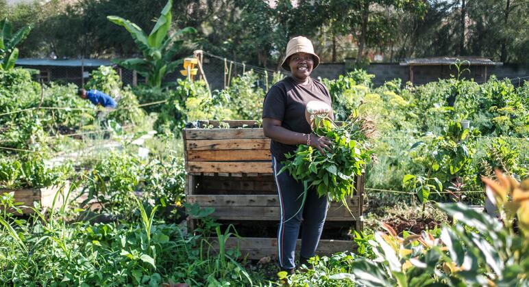
Soil mapping aims to boost agricultural production in Kenya
The Soil Mapping for Resilient Agrifood systems (SoilFER) programme supports farmers to develop reliable soil information that will inform agricultural decisions such as which fertilizer to use and how much.
So far, more than 3,600 soil samples have been collected and mapped across 45 counties, contributing to a digital soil map designed to provide farmers with location-specific information about their land.
Select farmers also receive training to diagnose and fix soil degradation – earning the title “soil doctor” – who then go on to teach their peers.
SoilFER was launched through a partnership between the UN Food and Agriculture Organization ( FAO ) and the Kenya Agricultural and Livestock Research Organization (KALRO) in Kabete, with financial support from the United States Department of State and Japan.
‘Now we know better’
For Agness Munialo, a farmer from Kakamega county in western Kenya, learning about soil composition and fertility has…