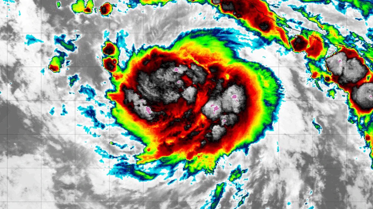
Tropical Storm Polo has barely had time to earn a name, and already it’s threatening to become the next major swell-maker in an extraordinary Eastern Pacific hurricane season.
As of Monday morning, Polo was about 255 miles south-southeast of Manzanillo, Mexico, packing sustained winds of 65 mph and moving east at roughly 5 mph. NOAA’s National Hurricane Center said the storm was undergoing “significant rapid intensification,” with a small eye developing beneath deep convection. Forecasters described conditions as “ideal for explosive intensification” over ocean temperatures topping 30.5°C (86.9°F).
The NHC expects Polo to become a hurricane Monday and potentially a major hurricane by Tuesday, followed by a sharp turn toward the west-northwest or northwest.…