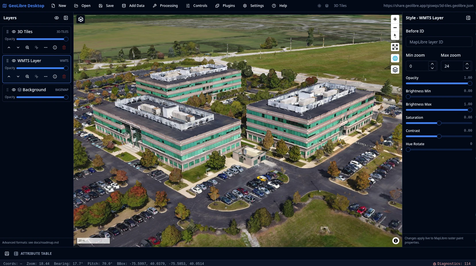
Cloud-native GIS platform GeoLibre is built with Tauri, React, TypeScript, MapLibre GL JS, DuckDB-WASM Spatial, and deck.gl. The same workspace runs across desktop and web environments, adapting responsively to mobile screens, with fast local and cloud-native data work, project files, styling, plugins, and modern geospatial workflows. What GeoLibre does today ¶ MapLibre map workspace ¶ Pan, zoom, rotate, and tilt a MapLibre map with OpenFreeMap basemaps or a blank background. Toggle built-in controls for navigation, globe, terrain, geolocation, scale, attribution, and logo, plus on-map tools like Measure, Bookmark, Minimap, and View State. Local and remote data ¶ Load local and remote vector and raster data, inspect attributes in the table, style layers with data-driven symbology, reorder and refresh layers, and save, reopen, or share .geolibre.json projects.…