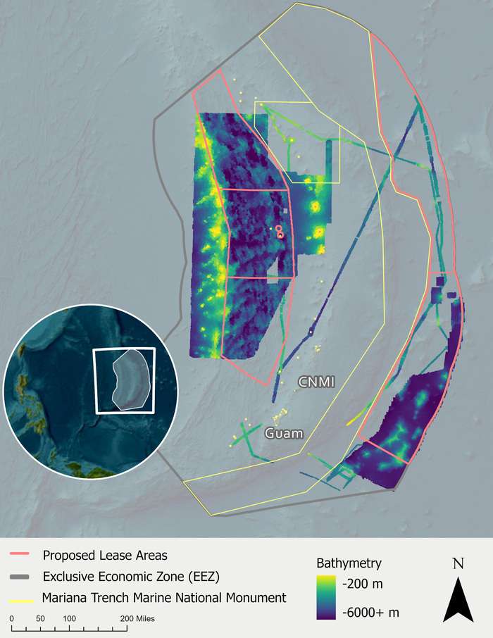
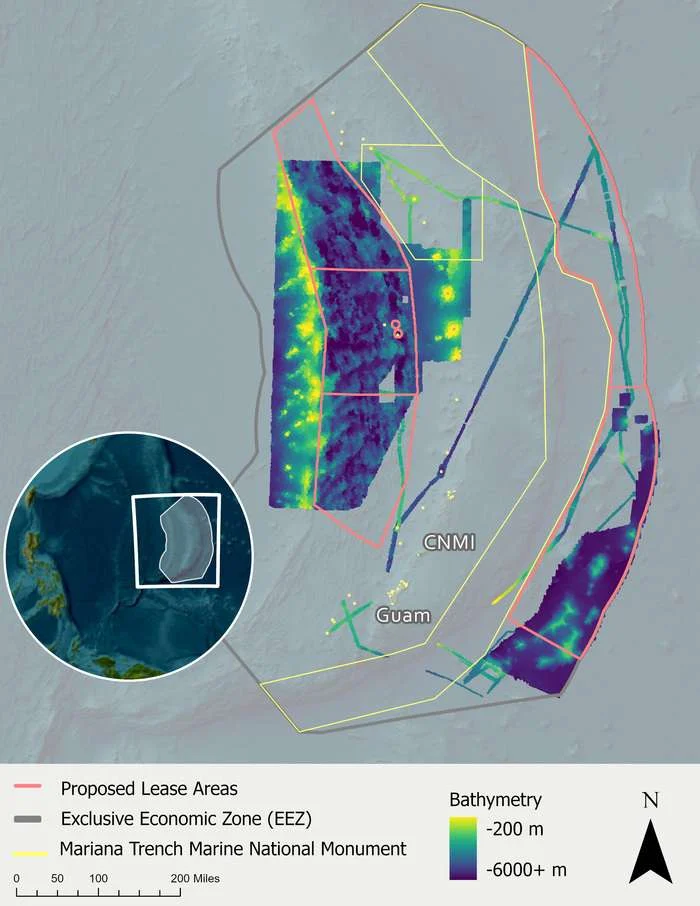
Over the past two years, NOAA Ocean Exploration and its partners have mapped approximately 267,500 square kilometers (103,300 square miles) of the deep seafloor in the US Exclusive Economic Zone (EEZ) surrounding the Commonwealth of the Northern Mariana Islands (CNMI) and an additional approximately 22,200 square kilometers (8,570 square miles) in waters around Guam. In total, approximately 289,700 square kilometers (111,870 square miles) have been mapped in the region, meaning that this publicly available, high-resolution data set now covers more than 95% of the US EEZ around CNMI and Guam, an area greater than the size of all five Great Lakes combined.
During two expeditions on Ocean Exploration Trust’s Exploration Vessel Nautilus, autonomous underwater vehicle Sentry from Woods Hole Oceanographic Institution was used to map and collect high-resolution imagery of the seafloor, like the image of polymetallic nodules on an abyssal plain seen here.…