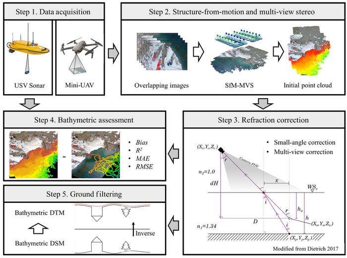
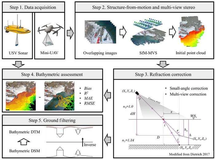
High-resolution nearshore bathymetry is vital for Antarctic ice–ocean studies and station safety. This study tests an uncrewed aerial vehicle (UAV) structure-from-motion workflow combining refraction correction and ground filtering to map shallow gravel-bed bay terrain. Validation shows useful accuracy and effective removal of floating ice and gravel, offering a low-cost mapping strategy for remote coasts.
A Sun Yat-sen University-led team demonstrated that UAV-SfM photogrammetry with refraction correction and cloth simulation filtering can accurately map shallow Antarctic gravel-bed bays.
Antarctic ice cliffs are retreating amid warming, and intense ice–ocean exchange shapes coastal environments. High-resolution nearshore topography underpins ice–ocean studies and safe station resupply, since icebreakers cannot approach shallow bays and small boats need reliable depth data.…