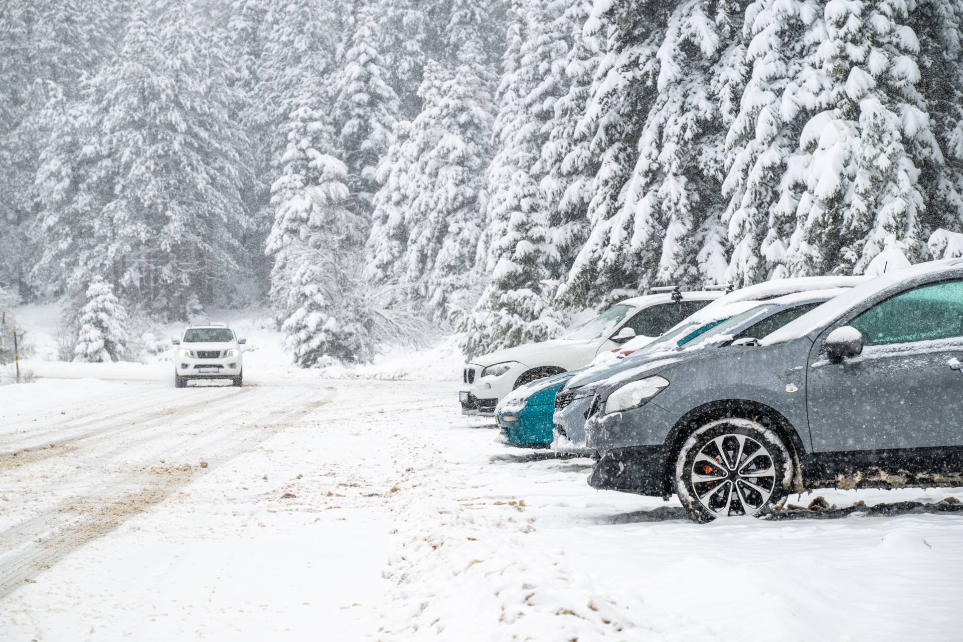
The National Weather Service has updated its standing winter storm warnings along the border of the Sierra Mountains in California as snowy, windy conditions are expected to become more severe over the coming days.
At 1:44 a.m. this morning, on November 17, the NWS office in Reno, Nevada, updated the warnings to account for even more snow and heavier winds that could make travel throughout Eastern California in the vicinity of Lake Tahoe extremely difficult this week. The report suggests that snow totals between 6 and 12 inches are possible at high elevations, with local forecasts being increased to two feet west of US-395. In collaboration with the predicted 70 mph wind speeds, this could make travel throughout the region extremely difficult.
“Slow down and use caution while traveling. The latest road conditions for the state you are calling from can be obtained by calling 5 1 1.…