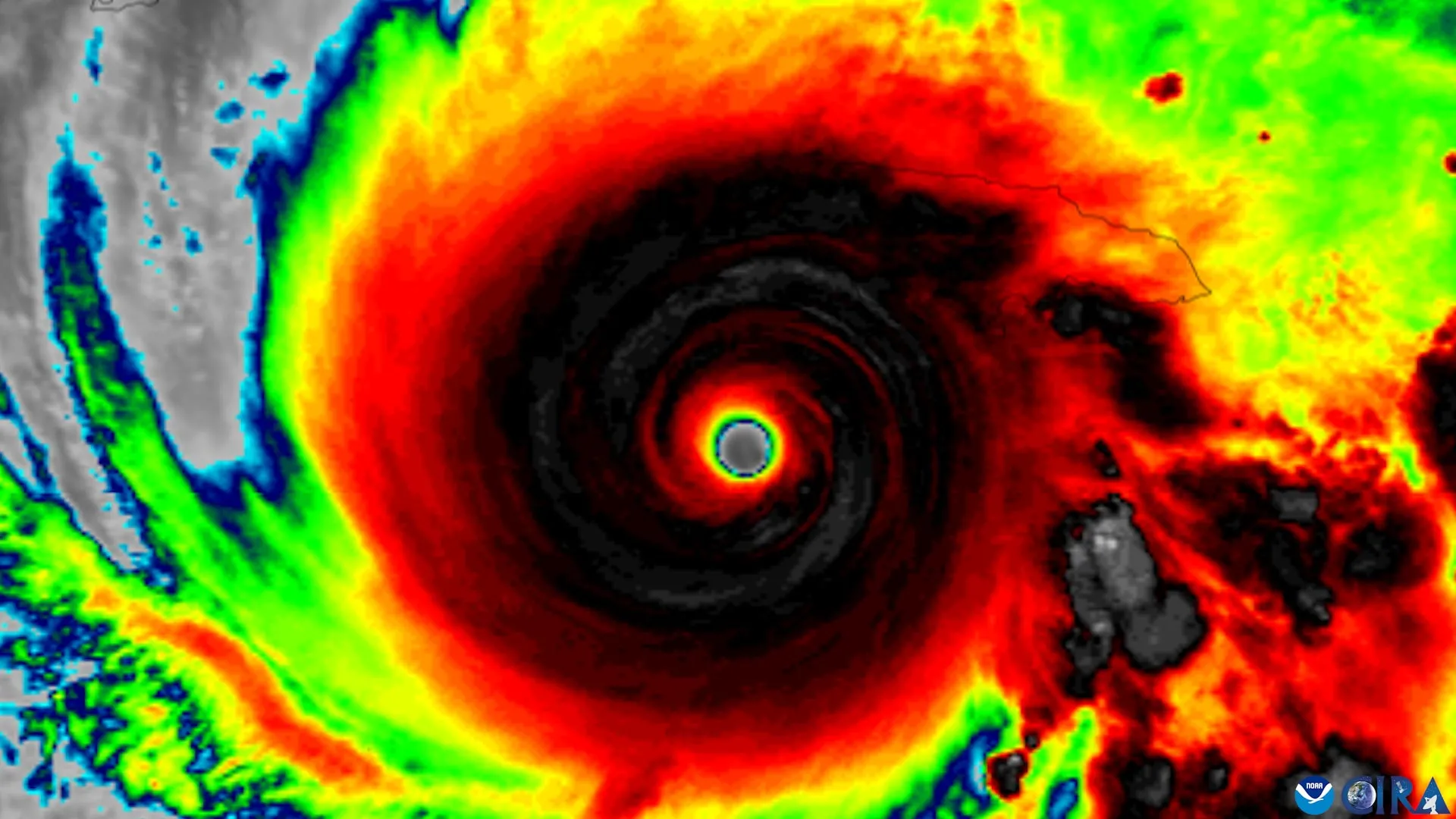
An updated hurricane forecast map is making it easier for people to identify areas threatened by storms, but new research reveals a concerning limitation. Even when people can recognize where hurricane watches are in effect, they may not feel more at risk or become more inclined to take precautions.
Researchers at Florida State University examined whether changes to the National Hurricane Center (NHC) forecast graphics improve public understanding of hurricane threats. The study involved faculty from the School of Communication within the College of Communication and Information and the Department of Geography.
The researchers evaluated an experimental graphic that expands the traditional hurricane forecast cone to include tropical storm and hurricane watches and warnings for inland areas. The familiar cone has historically placed greater emphasis on coastal regions, even though dangerous storm conditions can extend far from the shoreline.
The findings revealed mixed results.…