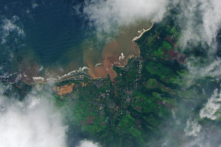
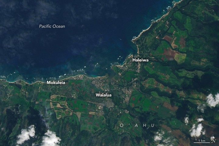
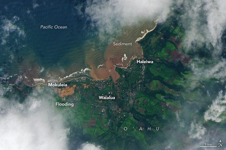
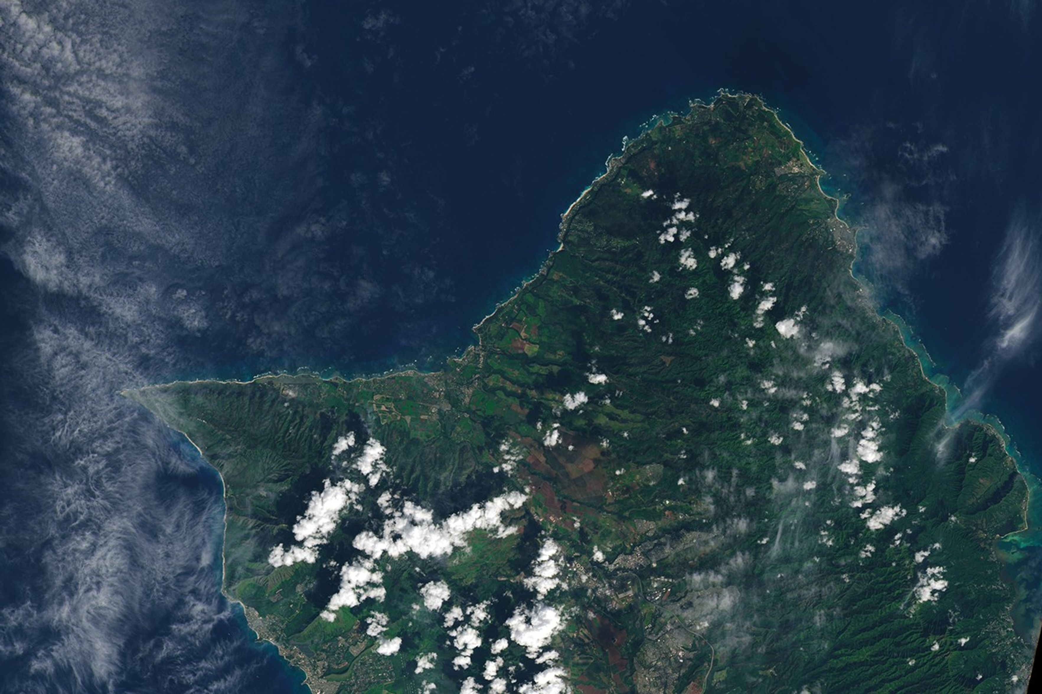
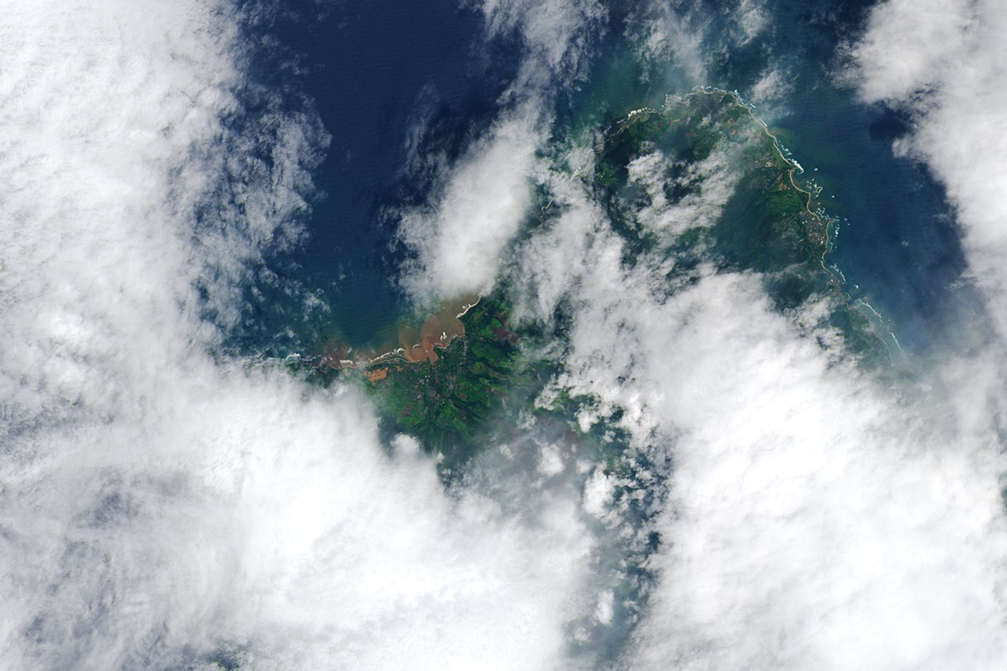
Image of the Day for March 25, 2026 Back-to-back subtropical cyclones in March fueled destructive flash flooding on several of the Hawaiian Islands. Mar 25, 2026 View more Images of the Day: Back-to-back low-pressure systems struck Hawaii in March 2026, delivering some of the worst flooding the state has seen in decades. The subtropical weather systems—called kona lows near Hawaii—siphoned moisture from the tropics, fueling slow-moving thunderstorms with torrential, destructive rains. The National Weather Service reported rainfall totals of 5 to 10 inches (13 to 26 centimeters) throughout the state between March 11 and 15, with some areas seeing more than 30 inches. Weather stations in Honolulu, Hilo, Līhuʻe, and Kahului all broke daily rainfall records. The satellite image on the right shows swamped neighborhoods and farmland between Mokuleia and Waialua on the island of O'ahu on March 14, 2026, after the first and more destructive storm system hit the island.…