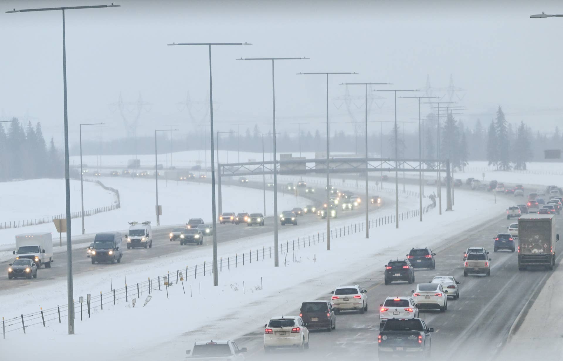
The mild weather is about to give way to colder conditions. A dip in the jet stream will bring colder air back across the Great Lakes later this week, setting up another round of lake-effect snow.
This round comes with a bigger shot of cold behind it, with several nights of temperatures hovering around or dropping below freezing expected by the weekend.
When Does the Lake-Effect Snow Start?
Thursday. Highs in Michigan’s Upper Peninsula climb into the upper 40s and low 50s on Monday and Tuesday before scattered showers move in on Wednesday, according to WLUC-TV6 meteorologist Jennifer Perez in Marquette.
Then the pattern flips. Perez explains in her latest forecast :
“An upper-level trough digs into the Great Lakes on Thursday, resulting in below-normal conditions.”
Lake-effect snow is expected Thursday and Friday along the north and northeast wind belts, with light to moderate intensity.
How Much Snow Could Fall?
Snowfall totals are expected to remain modest.…