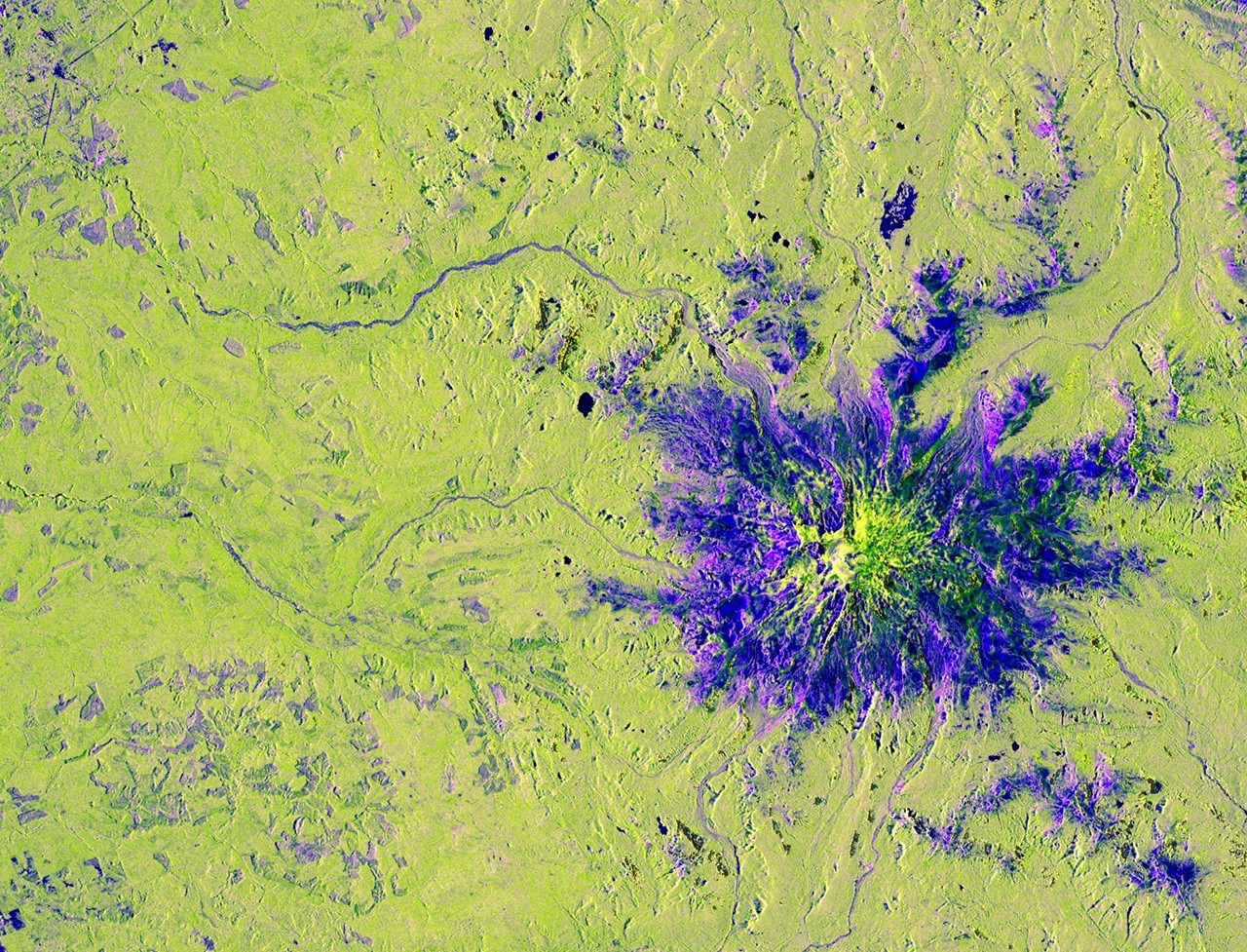
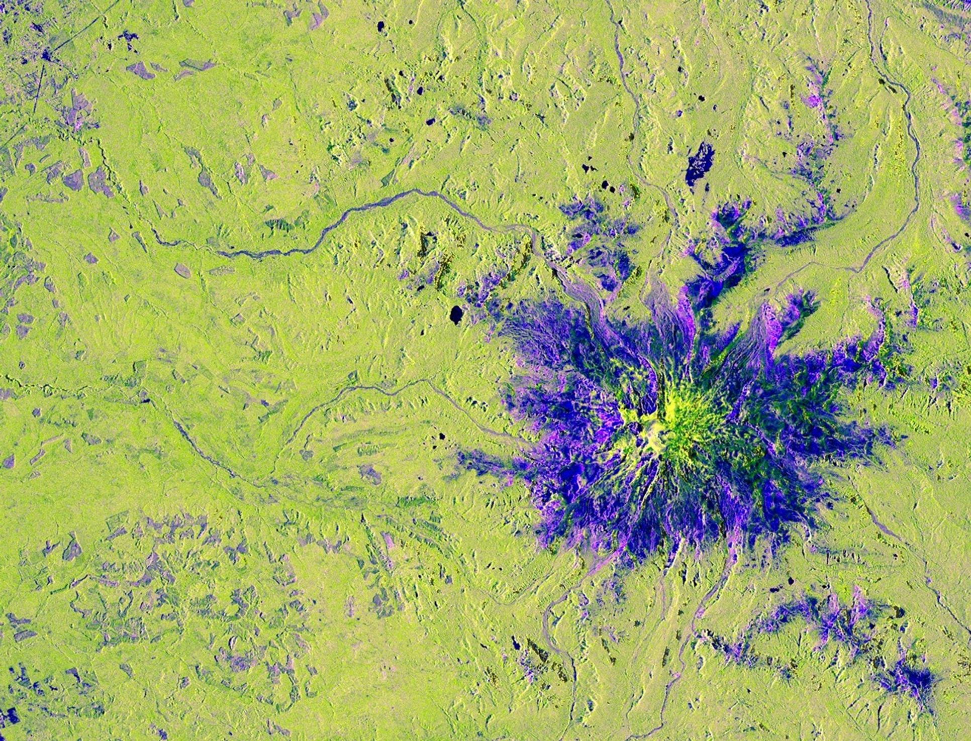
Credits: NASA/JPL-Caltech This image captured by U.S.-Indian Earth satellite NISAR on Nov. 10, 2025, shows Washington’s Mount Rainier. The image is cropped from a much larger swath spanning the Pacific Northwest on a cloudy day; NISAR’s L-band SAR instrument is able to peer through the clouds at the surface below. In Pacific Northwest imagery from the NASA-ISRO Synthetic Aperture Radar mission, some areas are dotted in magenta due to radar signals strongly reflecting off flat surfaces like roads and buildings, combined with the orientation of those surfaces relative to the satellite’s ground track. The yellow can be produced by a range of different factors, including land cover, moisture, and surface geometry. Yellow-green in the imagery generally indicates vegetation, such as the forests and wetlands covering the region. Relatively smooth surfaces, including water and — as is most likely the case in this image — vegetation-free clearings on the mountaintop, appear dark blue.…